Soybean Decision Support System: Leveraging NASA Satellite Data

Pandas, Numpy, Data Visualization, API Integration


Pandas, Numpy, Data Visualization, API Integration
Soybean Decision Support System: Leveraging NASA Satellite Data
At the intersection of data science, web development, and environmental research. Developed during the NASA Space Apps Challenge 2024. The web application empowers soybean farmers with data-driven insights, enabling precise decision-making tailored to regional climate and soil conditions.
Contextual overview
2 main discoveries made by the Team served as the foundation of our project:
- The choice of Soy Beans strains are highly dependant on climate conditions
- Soy beans are places into 4 groups, data for the optimal soy bean is classified by state in the US, this is readily availible in the US but not worldwide.
So what next?
With the help of historical satellite data, we would be able to create a dataset of known optimal conditions for each strain of soy. Given any location, we can then obtain the optimal soy bean group (1 through 4) to assign to the location.
How we did it:
- Utilize NASA’s API to pull MERRA-2 satellite data in conjunction with Regional Soy Bean Type reccomendations to create a dataset.
- Develop a system to evaluate the climate similarity of 2 datapoints using Euclidean distance.
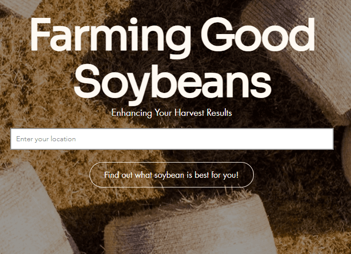
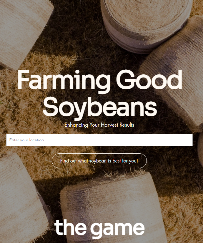
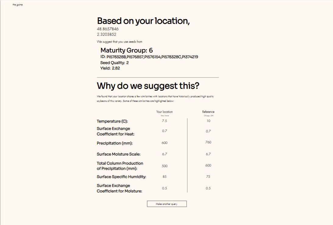
- Create a user-friendly platform to recommend optimal soybean variants based on location inputted by the User
Key Features of the Application
1. Data Science Integration
- Leveraged NASA’s MERRA-2 weather sensor dataset, capturing critical metrics like surface temperature, precipitation, and exchange coefficients for heat.
- Implemented a weighted Euclidean distance algorithm to analyze geographic conditions, comparing user inputs to reference data points for accurate soybean variant recommendations.
2. User-Friendly Web Interface

- The frontend, hosted on Wix, offers an intuitive user experience, designed for farmers of all technical backgrounds.
- Features include location-based data inputs, real-time analysis, and interactive visualizations that highlight why a specific soybean variant was recommended.
3. Modular Backend Design
- Developed a robust backend capable of handling large datasets and efficient API integrations.
- Functions include pulling satellite data directly from NASA’s MERRA-2 API, preprocessing geographic datasets, and dynamically generating reference datasets for optimal crop suggestions.

Technical Highlights:
Algorithm Development
- A weighted Euclidean distance approach ensures the system recommends soybean variants with the closest environmental match to user-provided location.
Data Preprocessing
- Satellite data was filtered and pre-processed to balance precision and efficiency, reducing database size while maintaining high analytical accuracy.
Seamless API Integration
- The backend scripts efficiently pull, preprocess, and store satellite data in
.nc4files, creating a dynamic dataset that can be refreshed.
Explore the Code
Dive into the technical implementation and explore the project repository: GitHub Repository: MR_BEAN